Greens Creek Mitigation Bank
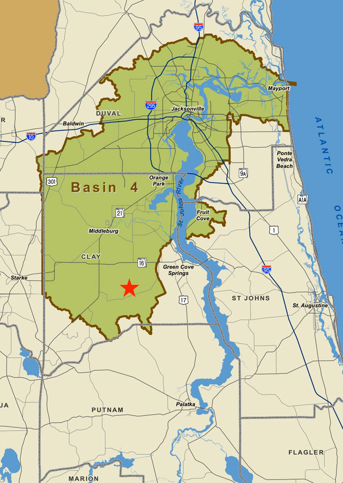
Greens Creek is a 4,411 acre mitigation bank located in Clay County, Florida. The service area includes substantially all of Duval and Clay Counties. Wetland impacts for both federal and state requirements can be fully offset by credits from the Greens Creek Bank.
In addition to the size of the bank, which qualifies for one of the 10 largest banks in Florida, the distinctive feature of the bank is over 4.5 miles of the Greens Creek tributary. When the peripheral creeks and small streams are added to the water feature on the bank it will be over 20 miles. Greens Creek flows into Black Creek which then flows into the St. Johns River. This water feature, along with the creek beds, contains significant plant and animal species which will be protected in perpetuity with the recording of the conservation easement.
Mitigation activities on this bank include:
- Enhancements of wetlands
- Preservation of significant bottomland hardwood and hydric Flatwoods
- Re-establishment of bottomland forests and wet Flatwoods. Finally, a significant number (+2,000 acres) of uplands will be preserved which will increase the function and productivity of the contiguous wetlands.
Another significant feature of Greens Creek is when preserved, it will add to several local and regional conservation corridors. The most significant is the connection between the Ocala National Forest and the Osceola National Forest.
We invite you to call 904.536.3386 or email us today for your mitigation needs in Duval and Clay Counties.